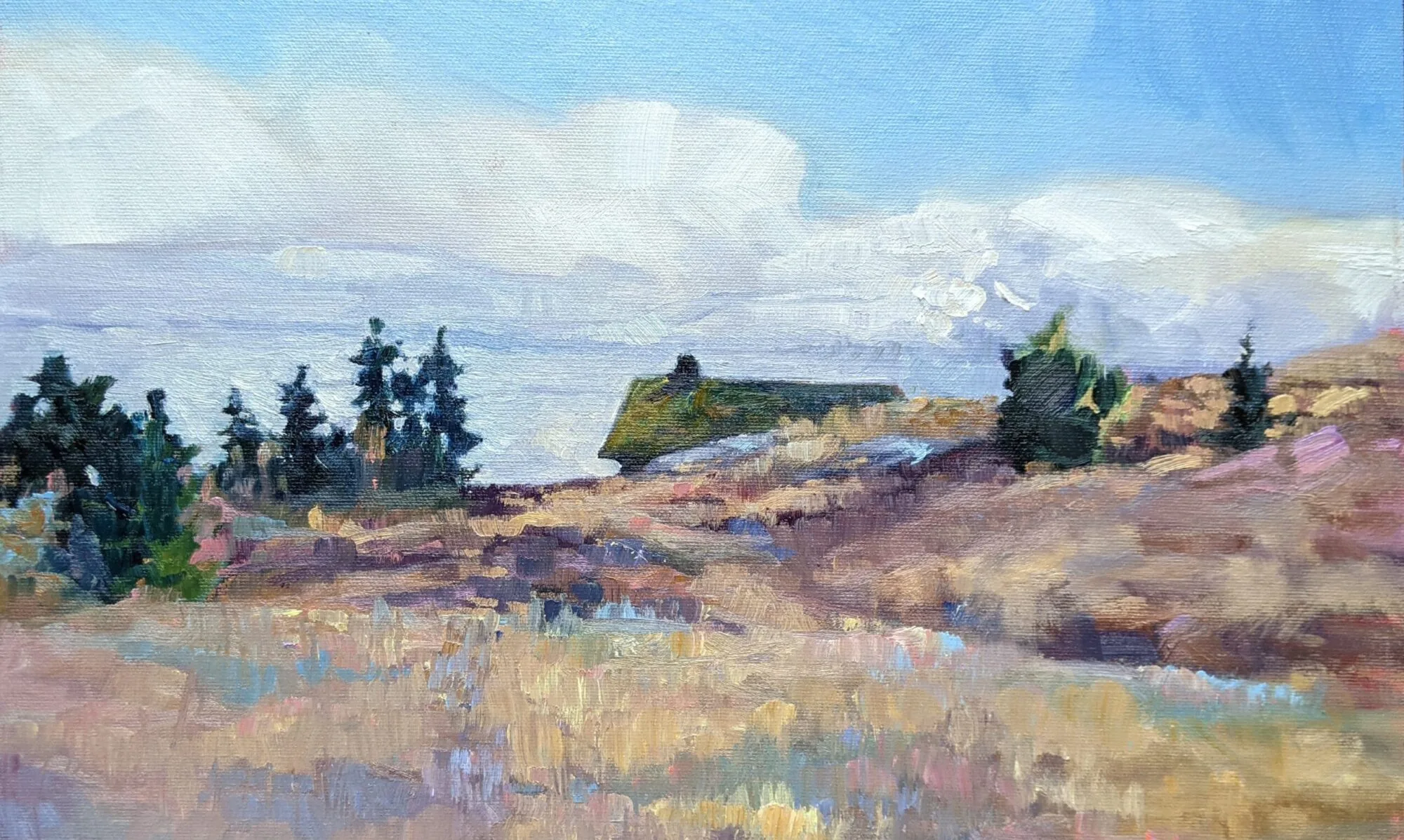
I foolishly flew past the Old Woman River. The towering cliffs of its bay shimmered in the afternoon sunlight. “There’s always something more,” I reminded myself as I went on, but in this instance there wasn’t. That perfect combination of light and air was not to be repeated. Instead, the sun bore into our eyes across the flatness of Lake Superior.
In a moment, I was distracted. “Maples!” I shouted. “Eastern hardwoods!”
“What kind of maples?” Mary asked narrowly.
“Not soft ones, but other than that I can’t tell unless I get a good look at an older tree,” I answered. That’s not easy at 60 MPH, when you’re the driver.
“And you call yourself a tree person,” she sniffed.
We’ve seen a lot of roadside attractions in our 5300 miles. There was the World’s Biggest Moose, and the World’s Biggest Dinosaur, and Huskie the Muskie. Wawa, Ontario has not just one but three giant Canada Geese. But to paraphrase Lloyd Bentson, “I know Canada Geese. Sir, you’re no Canada goose I ever saw.” For some inscrutable reason, the geese of Wawa have white plumage.
Wawa is named after the Ojibwe word for the geese. The Ojibwe were one of the combatants in the war between the Huron and the Iroquois Confederacy, supported by the French and British, respectively. (We now call this the French and Indian War.)
That puts us in the geographical area of the historic Province of Upper Canada, established to accommodate and govern the United Empire Loyalists pouring across the border after the American Revolution. Since that includes the Niagara Region, I am very close to my birthplace.
The Province of Upper Canada, confusingly, is south of the Province of Lower Canada. It’s the same principle that makes Down East the northernmost part of the American coast: place names by navigation, not geography.
Sault Ste. Marie used to be one city until the War of 1812 firmly fixed the border right through the middle of it. The Soo Locks, which are the greatest inland shipping canal in the world, are located on the American side. This being a strictly-Canadian trip, we didn’t stop.
Instead, we hustled on to Iron Bridge, Ontario, putting us on the Lake Huron coastline. We hope to make Algonquin Provincial Park today. This is where painter Tom Thomson lived, worked and died.


